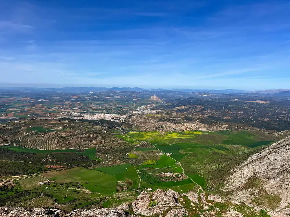
If you’re looking for an epic hike in Antequera, Malaga, I can’t think of any better than the highest peak in Antequera, Camorro Alto. Boasting incredible views of the city and the Lover’s Rock, Camorro Alto rises 1378 meters high.
It’s not a walk in the park and requires a basic fitness level before you venture up the steep slopes of Antequera’s mountainside. I also found it hard to follow the route in some places (partly because it was overgrown when I went in the spring after heavy rainfall) so I highly recommend following the route on a tracking app.
Read on for everything you need to know to hike Camorro Alto, Antequera.
Disclosure: This post may contain affiliate links. That means that if you make a purchase through one of those links, I will get a small commission at no extra cost to you. As an Amazon Associate, I earn from qualifying purchases.
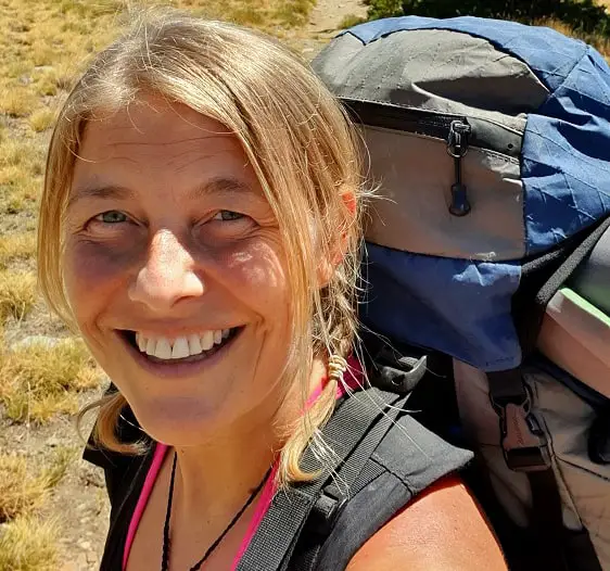
I’m Linn Haglund, the face behind Andalucia Hiking. I’m an avid hiker and after calling Andalucia home for over 10 years, I’ve covered my share of peaks, ravines, rivers, and valleys across all 8 provinces. I’m here to help you navigate this incredible region with thorough hiking guides, hiking tips, and gear recommendations.
🌿BE A GREEN HIKER🌿
7 Leave No Trace Principles
Table of Contents
Practical information
- Province: Malaga
- Length: 6 km
- Time: 4-5 hours
- Elevation: 660 m
- Altitude: 1378 masl
- Route: Loop
- Difficulty: Moderate to Difficult
- Hiking season: October to May
- Hiking with dogs: You can hike with dogs, but you’ll hike through areas where there is free-roaming livestock, so make sure you keep your dog on a leash. There are no pine trees, so no pine processionary caterpillars to worry about. However, there are no natural water sources during the trail, so make sure you bring enough water for your dogs too.
How to get to Antequera and the trailhead
Antequera is connected by bus with cities like Malaga and Seville. However, going on a day trip to hike Camorro Alto from either of these cities might be tough due to bus times, so I do recommend staying at least one night in Antequera.
Buses from Seville to Antequera take around 3 hours and are run by Alsa. You can check bus times here.
There are a lot more buses between Malaga and Antequera and the journey takes around 1 hour and 10 minutes. You can take Bus M-253 from Estación Bus Malaga. Check bus times here.
Getting from Antequera to the trailhead is a 10-12 minute drive and about 5,5 kilometers, so your best bet is to drive, however, you might get a taxi to take you there.
If you choose to hike from the city, you might look at 1-1,5 hours extra each way. Antequera bus station is on the other side of town, so it’s almost 6 kilometers and 1,5 hours walk each way.
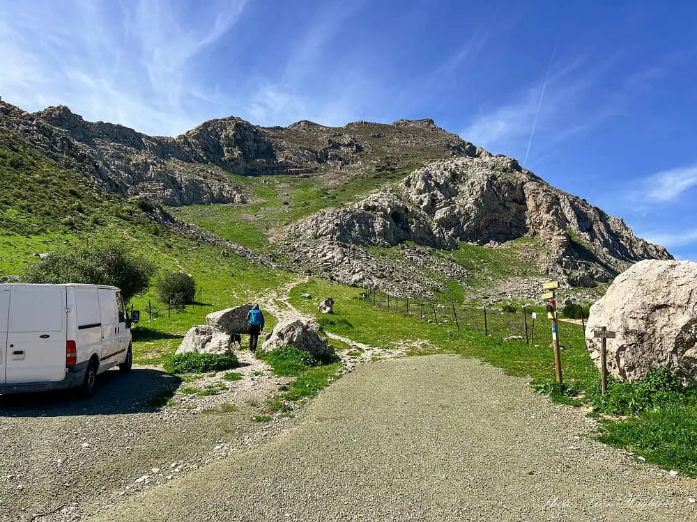
The trail starts by a sign of Senda Mozarabe del Camino de Santiago. There, you can leave your car. It’s space for a handful of cars if everyone parks well.
Use a Wikiloc trail
I highly recommend following a trail on Wikiloc for this hike if it’s your first time as it’s a bit tricky to follow.
Those who recorded the trail we followed had clearly gotten lost on the way, and so did we. That’s why my recording is not a 100% reliable source to follow the trail (as I mentioned, large parts of it was overgrown) but it does give you a good indication of how to get there.
If you don’t follow it blindly but use it as an indication of where to go while looking for visible paths on the way, it’s much better than venturing out without any guidance.
I’ll leave my recording since I still haven’t found another reliable recording that hasn’t gotten lost somewhere on the way.
When is the best time to hike
You can hike Camorro during fall, winter, and spring. But it gets way too hot in the summer months to take on this trek. There are no natural water sources and it’s physically challenging due to the steep ascent and descent.
Even in the hiking season, you need to be aware on hot days, cover up well for the sun, and bring enough water.
What to bring
There are no natural water sources and the whole trail is exposed to the elements, so I highly recommend bringing a 3L water bladder (if you take your dogs, make sure you have enough extra water for them!) and cover your head and neck with a hat or caps.
I usually always bring 1-2 buffs in my backpack in case of wind too, this way I can use one for my neck and one for my head if needed.
I would also recommend hiking poles for this hike as the ascent is steep, but especially if you choose the loop trail I did and will describe in this guide, it’s super steep back down and not really following a path.
If you struggle with your knees, it’s a great idea to have a knee brace in your backpack too in case it starts hurting on the way down.
Especially over the winter months, make sure you have a windbreaker with you (I’d bring a lightweight one in the backpack even on a nice day throughout the hiking season just in case.)
Finally, make sure you wear good quality hiking shoes (I love Salomon’s hiking shoes!) or boots on this hike as the trail is uneven and there are rocky sections.
THINGS TO BRING
- lunch
- fruit or other snack
- water
- neck gaiter
- layers on colder days
- hat or caps
- sunscreen
- hiking poles
Where to stay in Antequera
The best place to stay when hiking Camorro Alto is Antequera. Here are my top picks.
MID-RANGE: Parador de Antequera – As opposed to other paradores in Spain, the one in Antequera offers modern facilities set in a large park-like area making it an oasis in the city, perfect for relaxing. They also have a seasonal outdoor pool.
BUDGET: Hotel Manzanito – Centrally located at Plaza de San Sebastian, Hotel Manzanito is a great budget option within walking distance of the main attractions in Antequera.
APARTMENT HOTEL: Hotel Apartamentos Antequera – Modern and bright apartments with well-equipped kitchens. I especially loved the views from the rooftop terrace where you can see Lover’s Rock.
🐾DOG-FRIENDLY: Hotel Lozano – Budget-friendly hotel right outside of the city center where you can bring your dog upon request. There’s also a large, free parking you can use.
CHECK OUT OUR HIKING ADVENTURE ON YOUTUBE
Hiking Camorro Alto
The trail starts by a sign of Senda Mozarabe del Camino de Santiago (see picture in the “how to get there” section.)
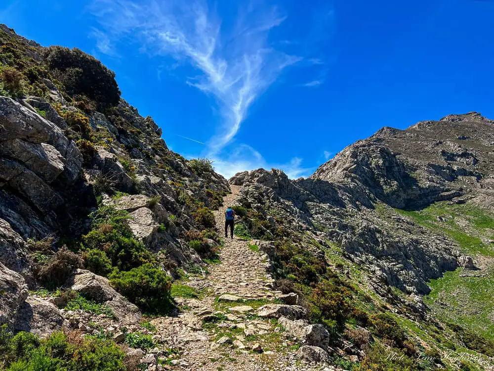
Shortly after you start walking upwards, take a steep left (I walked a few meters past it when recording the trail on Wikiloc before turning back.) This trail takes you up a narrow trail that turns into an old passage route laid out with stones a bit further up. This trail continues to Puerto de la Escaruela.
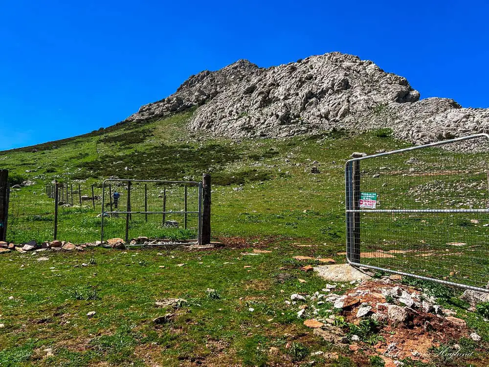
There, you’ll see a fence on your left with a gate that you need to enter. If this is closed, make sure you close it after you as there is livestock roaming around.
The trail continues along the fence once you enter and once you get higher up, you need to turn to the right where the trail goes under some trees.
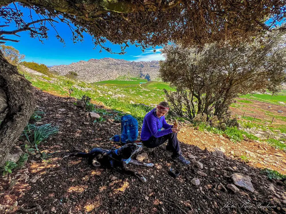
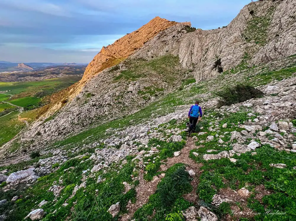
From there, we found it hard to follow the route as it was unclear and overgrown. But you’re basically climbing up the mountain toward a large sloped area of flat rock.
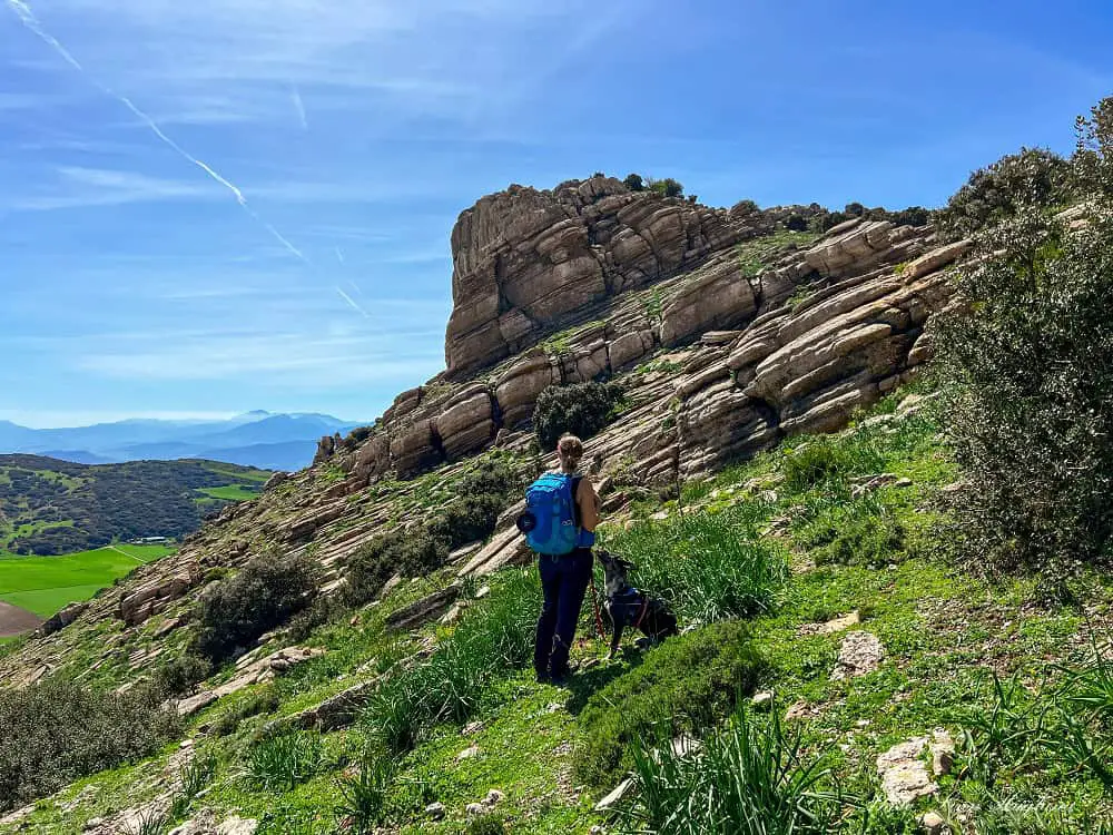
After walking above the rocky slope the trail loops toward the right a bit further up. Here too, we had problems following the trail as it was totally overgrown by spiky plants (I literally had to carry Baby Atlas for large parts so he wouldn’t harm his paws on the needles) but I believe that was mainly due to 2 weeks of heavy rainfall so hopefully it’s easier to follow when you get there.
When you reach the edge of the cliff, follow it and around some rocks near the peak, you find the trail up to the actual peak, past an iron cross.
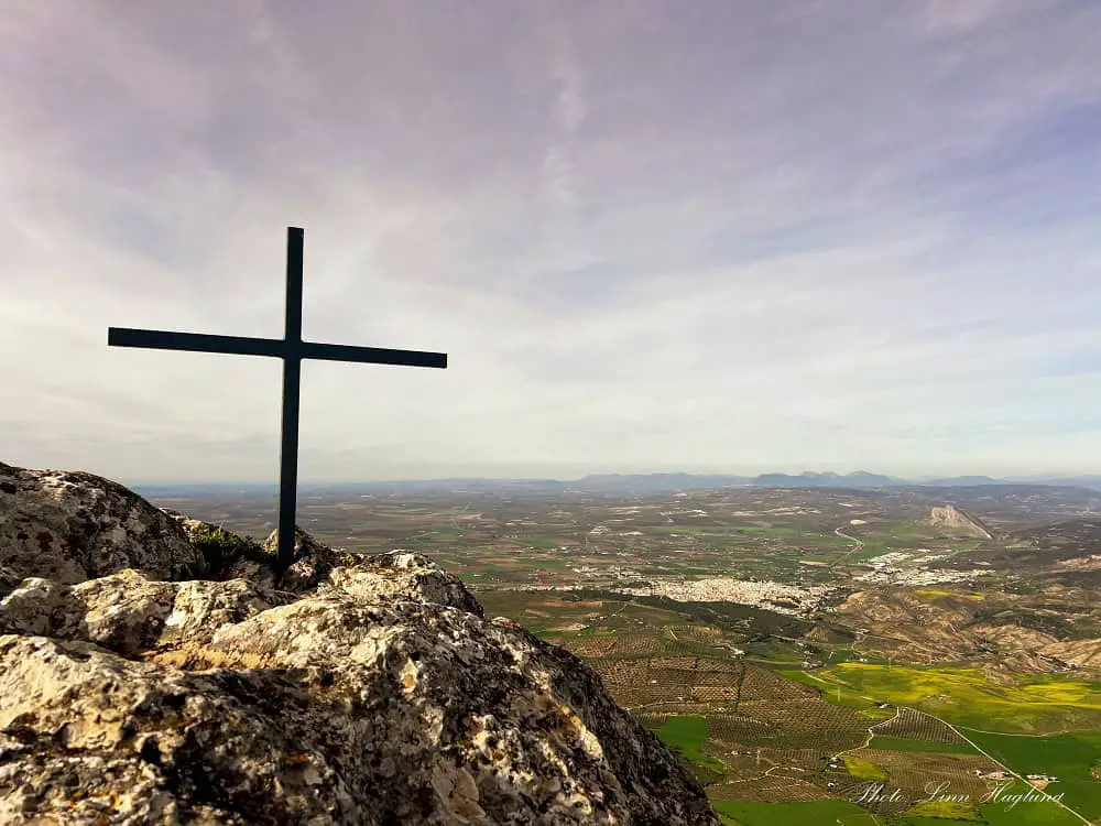
I didn’t see it so we scrambled up the large rocks tackling the peak on a massive detour from the left and not the right. It was not a good idea with a teenage dog with vertigo so we were happy to find the easy trail back down that was only a few meters.
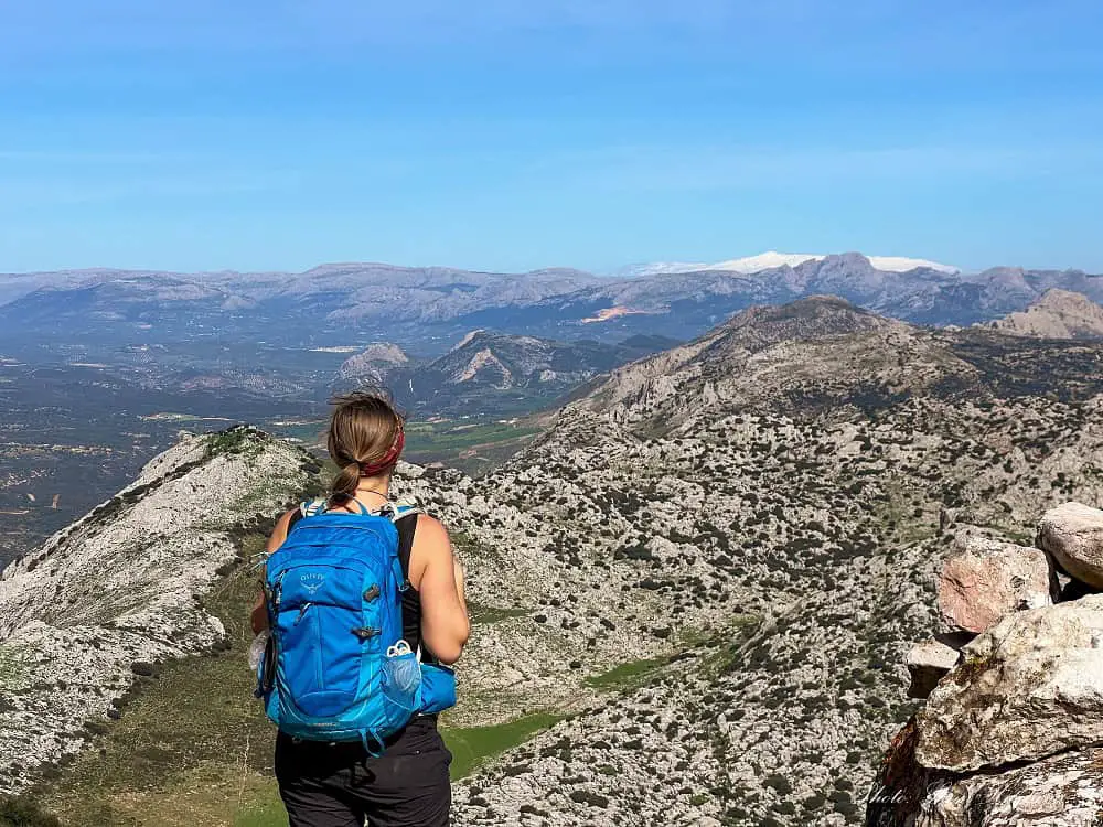
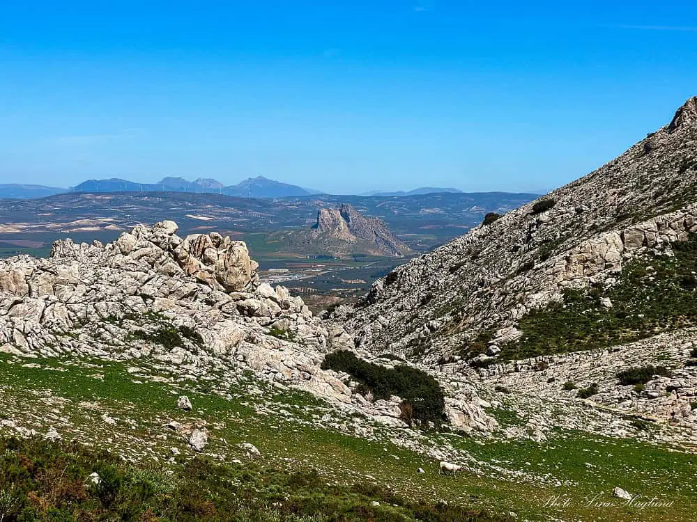
The views from the top are unmatched. You can see mountains in all directions and also the flat meadows surrounding Antequera city and the incredible Lover’s Rock, or the Indian of Antequera which it’s known as locally.
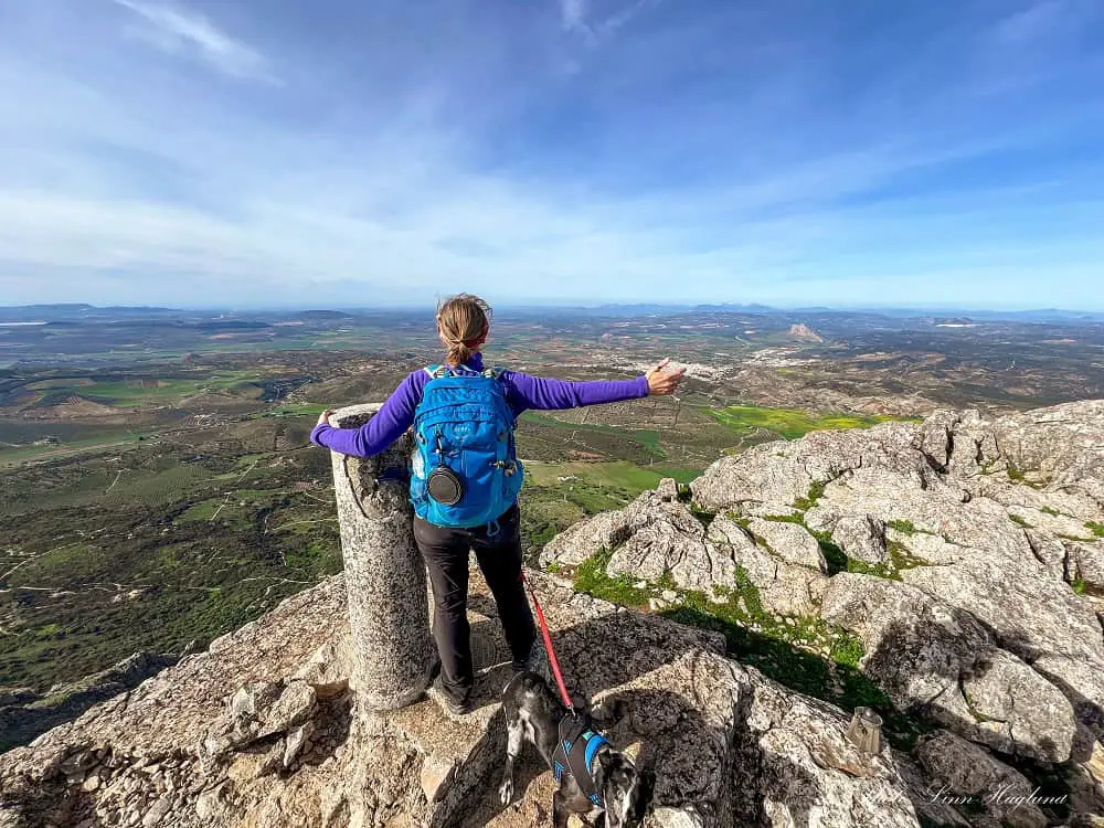
To return back down, we took an off-road track down the steep slope below the short trail from the actual summit (past the cross.) A little further down (the same way you should have come up if you don’t follow our footsteps) you can walk down to the left.
But in all honestly, we couldn’t find a consistent path to follow before we almost reached the rocky section further down the slope, so it was massively freestyling our way down.
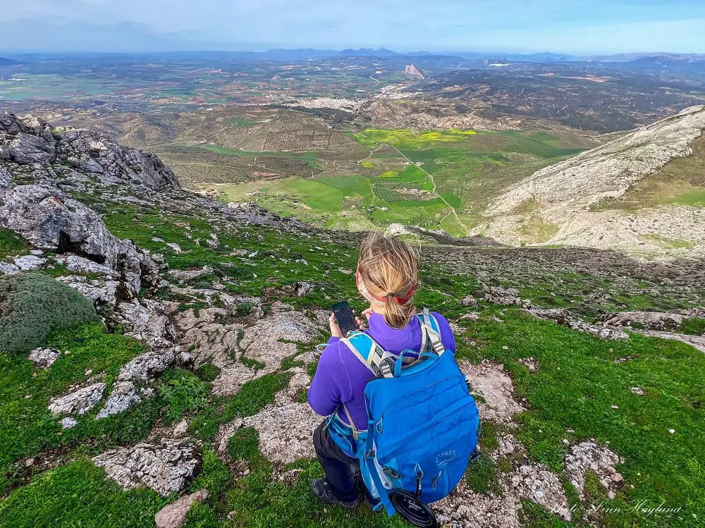
The good thing is that it’s easy to keep the car in sight the whole way, so aiming for it, you can’t get lost.
When we reached the rocky section further down the slope, there was a steep trail on the right side of it to follow back down to the trailhead.
OTHER HIKES NEAR ANTEQUERA
Reflections on Camorro Alto hike in Antequera Spain
Summing up, hiking Camorro Alto is an epic adventure. I wouldn’t recommend it as a beginner hike since it’s fairly confusing finding the route in several places and the descent is basically off road.
But if you’re up for a bit of a challenge and feel like taking in the best views in Antequera, I highly recommend it.
Happy hiking!

